The Bureau of Meteorology is committed to providing an outstanding service to the Australian community. As part of this commitment, over the coming months and years improvements will take place for the weather observing operations for communities in the west coast and north to mid-north of South Australia.
This is part of a significant program of upgrade of Australia’s radar and observation network in a generation. By June 2024, the Bureau will deliver 7 new radars, plus upgrades to 46 radars, 692 automatic weather stations and 200 flood warning network sites across the country.
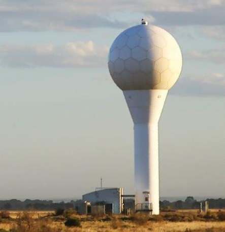
From Monday 8 March 2021, subject to any Covid-related access issues, the Bureau will be working to deliver a significant upgrade to the Ceduna radar that will take approximately 8 weeks to complete. Once finished, the community, emergency services and local industry, including agriculture, aviation, tourism and resources will benefit from the installation of a state-of-the-art digital receiver and control system. The benefits will include:
- tracking of the location and strength of wind changes using Doppler technology
- improved rain image quality
- improved severe storm prediction by detecting weather systems such as tornadoes and intense rain during storms that can cause damage
- enhanced information for emergency services with better fire plume height estimation and detection of fire-generated thunderstorms
- increased accuracy and reliability of the radar.
The radar will need to be offline for technicians to complete the work, however the Bureau’s warning services and forecasts will continue to be provided through an extensive observation network that includes satellites, automatic weather stations and flood warning networks.
During this period, local communities can draw on alternative information for the west coast and north to mid-north of South Australia:
- warnings and forecasts – on the Bureau’s website (bom.gov.au) and the BOM Weather app
- temperature, rain and wind graphics – via MetEye on the Bureau’s website
- satellite images that show cloud cover and lightning strikes – from the Himawari satellite on the Bureau’s website.